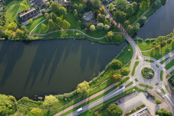
Over 200 years of Dutch history visualized with Aerial Photographs and Maps
incl. Kadaster, Wageningen UR Library etc
Dotka Originals

Digitally remastered scans
Dotka Originals contains aerial photographs and maps from 1811 to current. Over 200.000 scans included of original WWII espionage aerial photographs taken by the RAF and USAF. These images are widely used for bomb detection.
Downloads and prints up to poster size of the 1:1 originals are available. Prints ship within 24 hours; downloads direct. Payments by iDeal and CreditCard. Business subscription with invoicing on request. Continue
Dotka Mosaic

Custom prints and downloads
Unique aerial photo’s and maps from 1713 to present, custom sized for your house and town, with 20-60 layers in time for every location in the Netherlands.
Dotka Mosaic offers high-quality photo prints up to poster size and downloads for 300 dpi prints.
Prints start at €14,95 incl VAT; prints ship within 24 hours; downloads direct. Payments by iDeal and CreditCard. Continue
Dotka Report

Professional reporting
One PDF report with more than 200 years of Dutch history visualized by accurate aerial photographs and maps. Dotka Report provides a time series of 20-60 layers for every location in the Netherlands to visualize the development of your house, parcel or activity.
Reports are delivered electronically within 10 minutes in PDF, JPG or Geo-format, and start at €39,50 incl VAT for 10 layers. iDeal or CreditCard payment only. Business subscriptions on request include large previews, corporate logo and invoicing. Continue


